")


Height control
Precincts in general require compaction and densification and therefore generally require height control that allows for vertical expansion. When setting height controls, consider the following factors:
- Land use requirements and densification targets established for the precinct.
- Avoidance of any potential losses in environmental quality such as blocking of views, sunlight, and natural breezes; trapping of air pollution near the streets, or the creation of urban heat islands.
- Calibrate building heights in relation to surrounding buildings, natural features, heritage assets and importantly, the streetscape.
- The ratio of building height to stand size.
- Moderate building heights in The Heart, Activity Corridors and Transition Zones, ensuring accentuated transition into neighbouring areas.

Setbacks
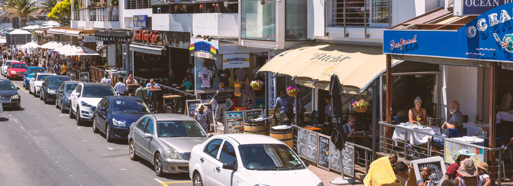
Setbacks together with height control regulate bulk and scale. Setbacks strongly define the streetscape character, the interaction between the building and the street, and the street experience itself.
When establishing setback requirements, consider the following:
- Setback requirements can be established at both street level and for upper storeys. In general, tight setback controls are required in precincts for all non-residential land uses at ground level to establish a strong street edge and direct relationship between the commercial ground floor uses and the street. In residential streets setbacks controls are relaxed to provide some privacy and to enable landscape screening and beautification.
- Setbacks at upper storeys affect the height-to-width ratio of a street to achieve perceived pedestrian scale and also sunlight penetration.
- Managing character for example by establishing a consistent building line, or to articulate building frontages to add interest.
- Managing views and vistas.
- The need to retain trees or plant trees.
- Sidewalk functional and activity requirements.
Residential blocks
Commercial/institutional blocks
Mixed use blocks
Residential blocks

Commercial/institutional blocks

Mixed use blocks
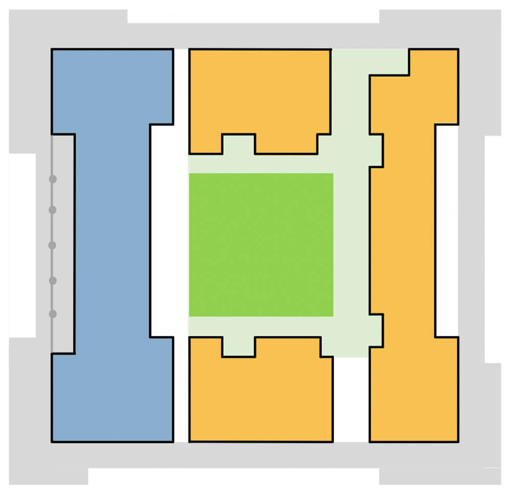


Residential Edge
Mixed-use Edge
Residential Edge
Figure: Residential edge: A preferred spatial condition

Mixed-use Edge
Figure: Mixed-use edge: Land use and activity zones


Paving
Bins
Lighting
Signage
Seating
Bollards
Bike racks/bicycle parking facilities
Public art
Toilet & water points
Holistic &integrated approach
Paving
Bins
Lighting
Signage
Seating
Bollards
Bike racks/bicycle parking facilities
Public art
| COMMISSIONED STATUES & SCULPTURES | |
|---|---|
 Nelson Mandela Statue, Union Buildings, Pretoria
|
 Anton Smit public art installation Menlyn Maine Precinct, Tshwane
|
| COMMUNITY ART | |
|---|---|
 World famous ‘Selaron Steps’ in Rio de Janeiro, Brazil. Jorge Selarón, a local resident, initially started the project to renovate dilapidated steps that ran along the front of his house
|
 Seattle’s Urban ArtWorks employs, trains, and mentors at-risk community youth. Beginning as a method for clearing the city of graffiti, the group has produced over 400 murals throughout Seattle. Disadvantaged youths earn wages and repay court ordered restitution to their victims. Source: https://urbanartworks.org/
|
| Urban art installations |
|---|
 A series of umbrellas have been mounted to form a canopy over a pedestrian throughway. This adds colour and interest, but also serves to protect pedestrians from the sun
|
| GRAFFITI / CHALK AND SIMILAR |
|---|
 Increasingly, street artists either breathe life into boring urban utility elements, or liven up ugly, protruding items such as drain pipes, adding interest and fun to the urban landscape. Credit: Street artist “Tom Bob” (Pinterest)
|
Toilet & water points
Holistic &integrated approach

